There is no substitute for accuracy and detail. We work to a clear accuracy specification,
meeting expectations for feature data collection, terrain accuracy, and imagery resolution.
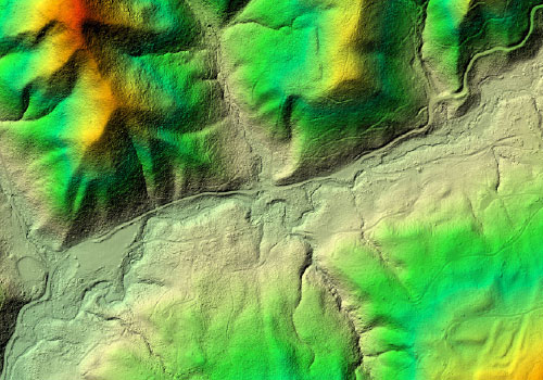
Terrain / DEM / DTM / TIN
GeoTerra uses both Lidar & Photogrammetry to collect terrain surfaces for a wide range of uses.
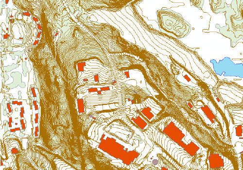
Feature Data Collection
Our vector-based feature datasets use a wide range of sources – including aerial photography, ground data collection, historical data and digitizing from existing maps
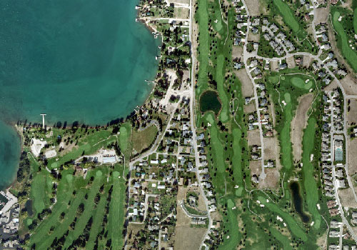
Orthophotography
Sometimes the best of both worlds is possible by producing a product having the geometric accuracy of a map but containing the immense detail of aerial imagery.

Aerial Data Acquisition
GeoTerra is able to acquire imagery and Lidar throughout the Continental U.S. using either internal assets or through strategic partners.
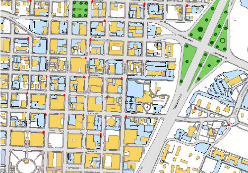
GIS Services
Broad skill sets to support both our mapping projects and specialized projects requiring analysis and client overall usability.
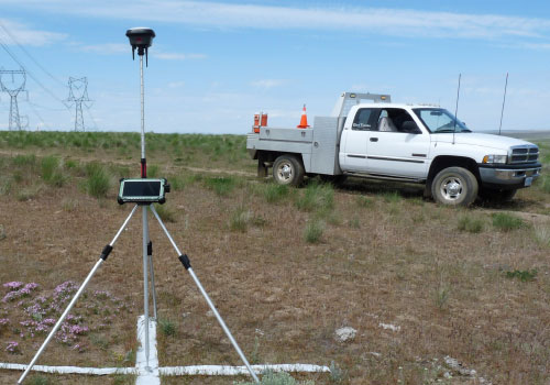
GPS Surveying
Using our internal Surveyor or working in concert with clients, GeoTerra plans and coordinates dozens of GPS surveying efforts for sites throughout the United States.

Imagery Printing Services
GeoTerra operates a high-end color print lab in our Portland location with multiple Chromira LED Printers to produce archival quality prints and enlargements.