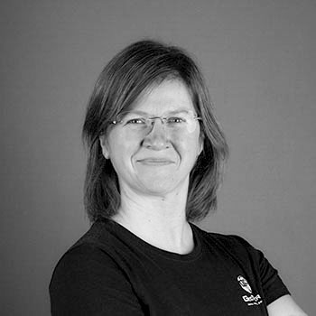
Danuta is an ASPRS Certified Mapping Scientist – Lidar, with over 20 years experience in Aerial Mapping and Lidar. Responsible for all aspects of Lidar production, technical standards, quality assurance and quality control. Her technical background in photogrammetry, high accuracy data collection, orthophotography, and digital terrain models is critical for successful Project Management. Danuta holds an M.SC in Geodesy and Cartography.
