GeoTerra, Inc. provides the latest imagery, Lidar, and engineering quality mapping technologies.
We use an efficient and tested production process which adheres to high levels of quality and timeliness.
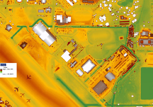
Lidar
GeoTerra uses the Optech Galaxy T2000 as our primary Lidar sensor system. With a 2-MHz collection rate, the Galaxy provides versatility, accuracy, and overall quality at an efficient cost.
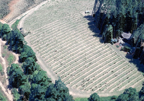
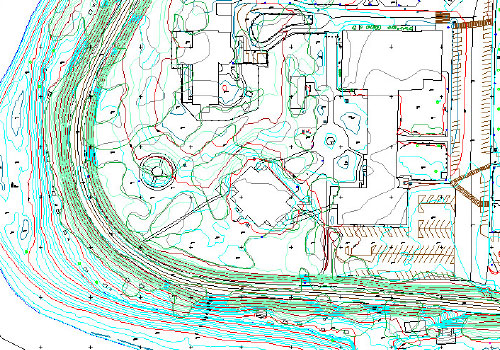
Photogrammetry
GeoTerra is a leader in Photogrammetric technology. Precision mapping starts with acquisition of high-quality large-format imagery, flown with Airborne GNSS, IMU, and gyro-stablized mounts.
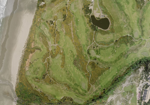
Orthophoto Imagery
We utilize Trimble Inpho photogrammetric software for precision orthophotography. GeoTerra regularly produces large-coverage areas at high resolution for municipal and county cooperatives.
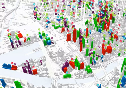
GIS
GeoTerra is an ESRI Business Partner and uses the full suite of ArcGIS products for mapping and analysis. We bring an increasing level of quality control using ESRI GIS software.
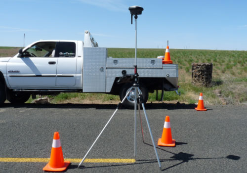
GPS Surveying
GeoTerra utilizes the Leica GS18i survey-grade GNSS RTK Rover GPS, with visual positioning capability for the latest in GPS collection technology.